Garden of the Month – March 2026: Moore Farms Botanical Garden

This month’s Garden of the Month takes us to Moore Farms Botanical Garden in South Carolina.
Evan Cook shares how the garden has evolved from former cropland into a thriving living collection, and how digital mapping now plays a key role in supporting its continued growth.
When Ms Darla Moore returned to her family’s ancestral farm, the transformation of former tobacco fields into a botanical garden was not conceived as a single grand plan. Instead, it unfolded gradually.
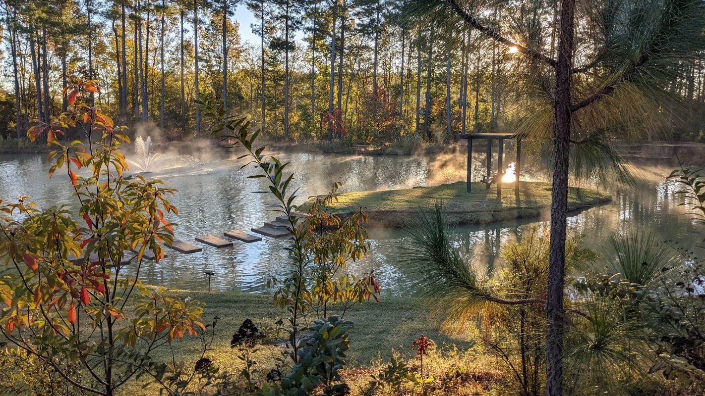
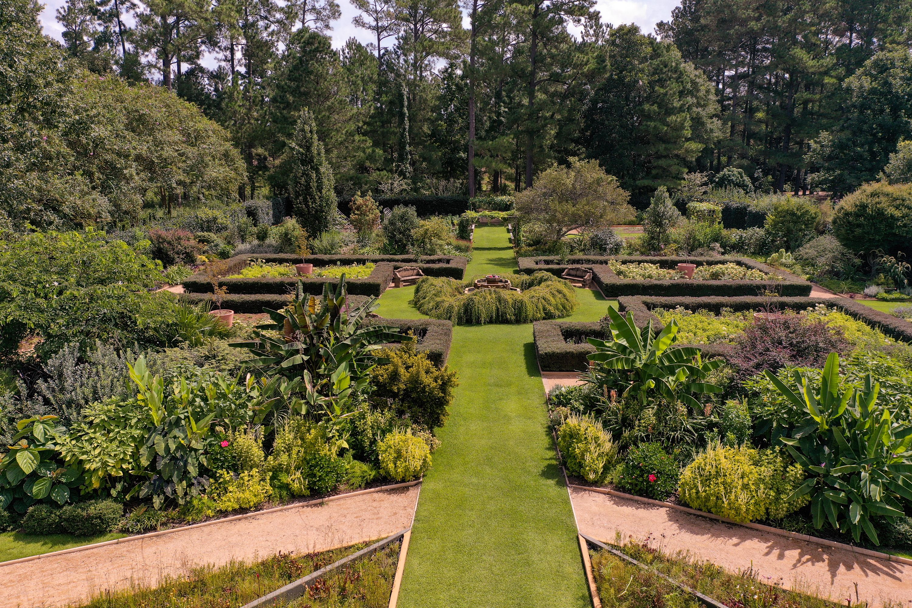
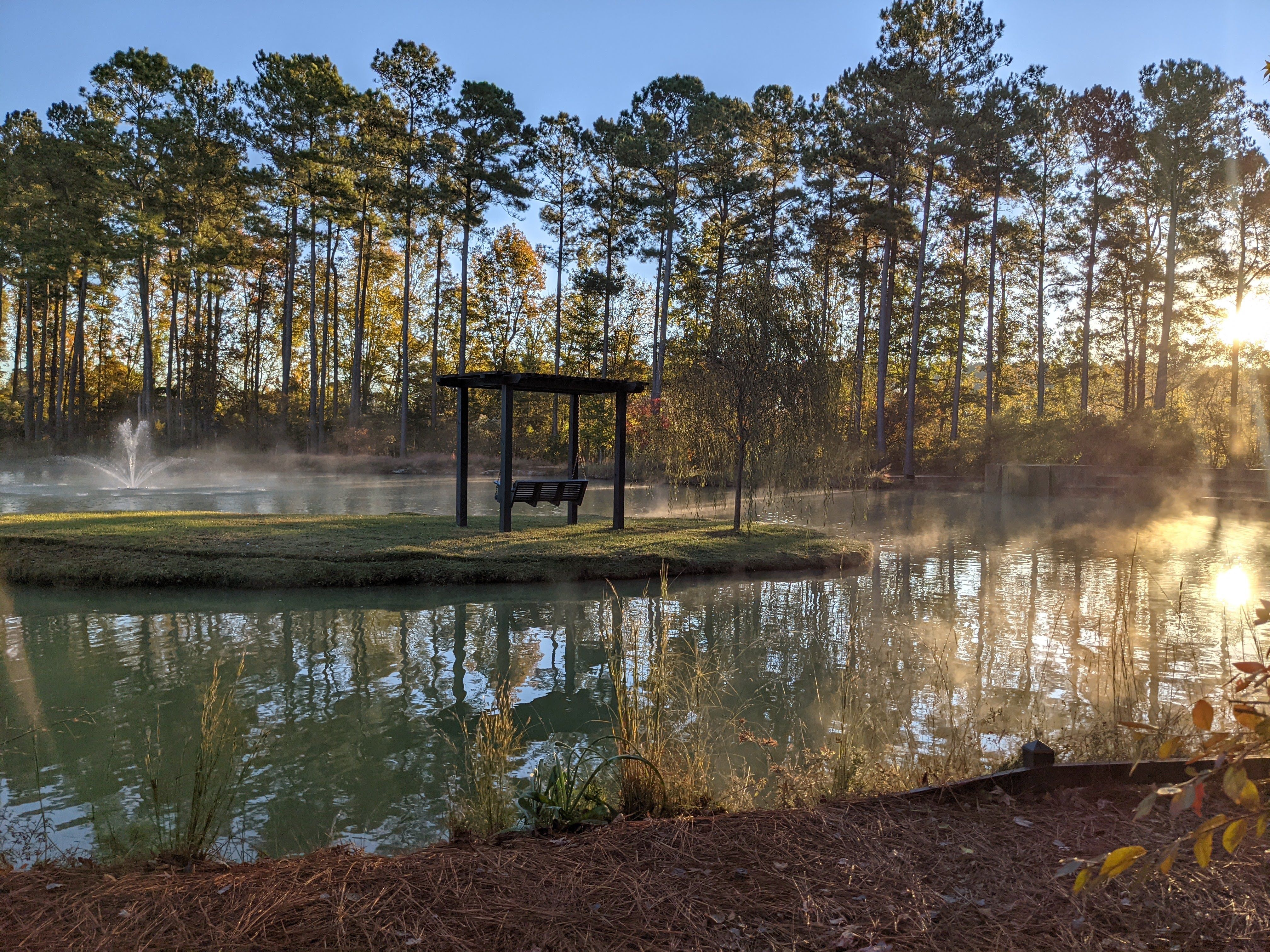
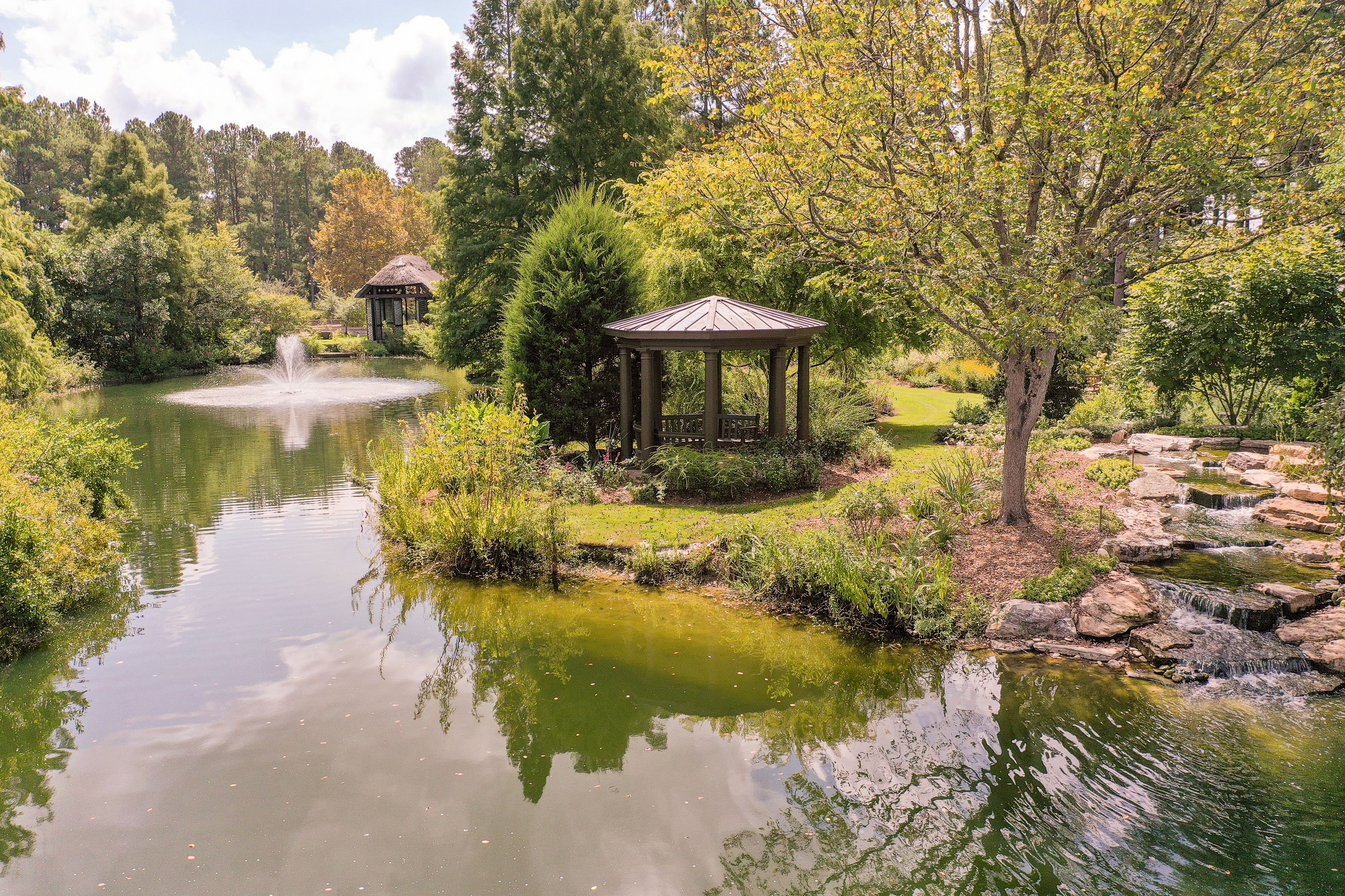
Rather than imposing a fixed design from the outset, the garden was allowed to respond organically to the land itself. Piece by piece, it was woven together with ponds, winding paths, plantings and expressive, informal design elements. Gradually, those former croplands evolved into one of the largest gardens in the state, with a living collection spanning a wide range of taxa. Ornamental display sits alongside designated collections and an expanding trial and research garden.
Education has always been part of that evolution. Classes, workshops, field trips and summer camps now bring visitors of all ages into the garden, connecting natural beauty with learning and stewardship.
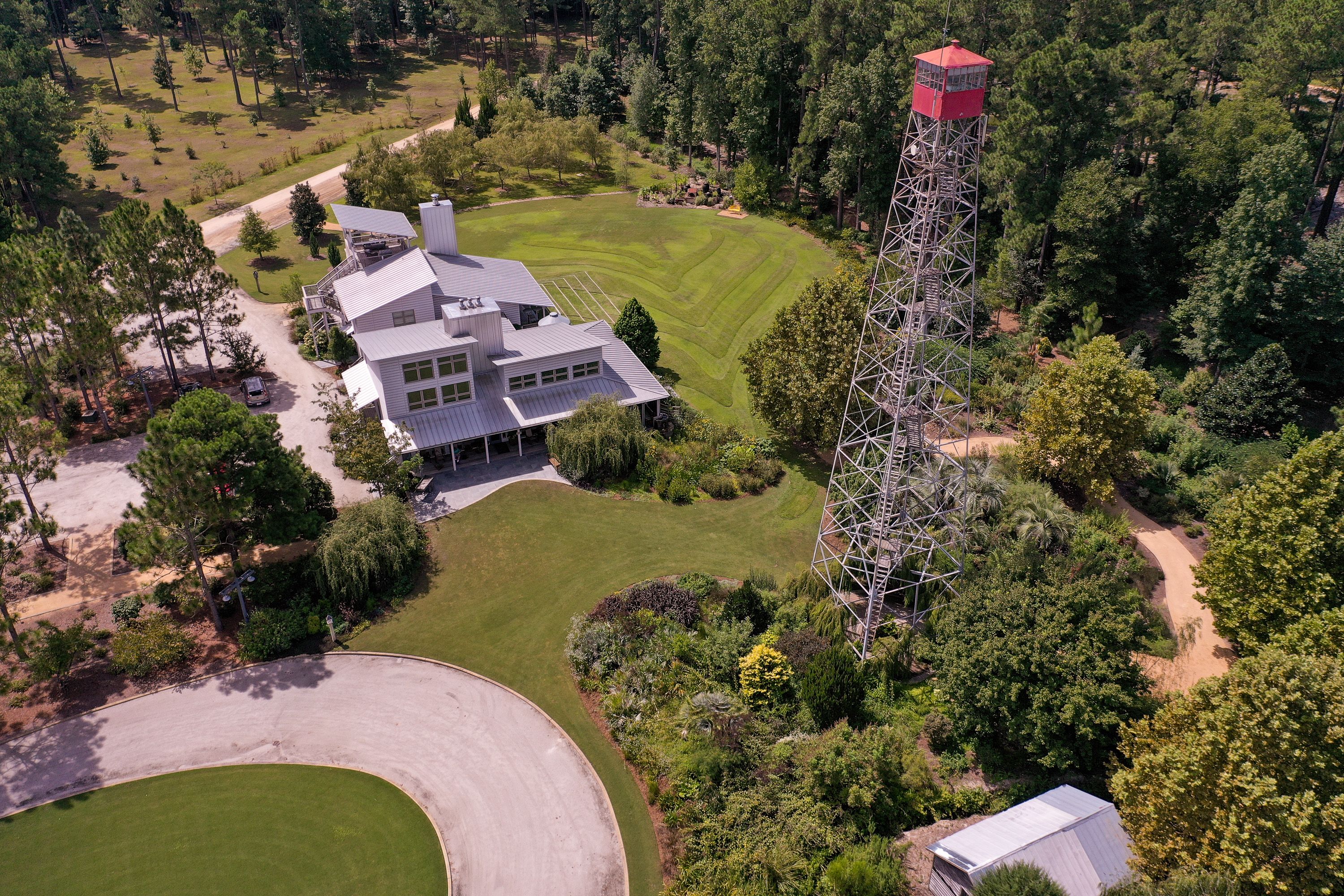
Now approaching its 25th year, Moore Farms Botanical Garden spans nearly 90 acres of cultivated landscape. As a non-profit organisation, it remains committed to decorative arrangements while promoting research and education in horticulture, agriculture and forestry for the benefit of the people of South Carolina and beyond.
Growing Pains
Establishing a garden on historic cropland nestled between low-lying swamps was never going to be straightforward.
As the garden matured, so too did the complexity of its living collection. Successive plant databases, rapid expansion and staff turnover gradually made plant record management more demanding. An ageing system with a complicated interface meant that accessing reliable records was not always simple, particularly for new team members.
Inventorying and locating plant material could be labour-intensive, and as the collection grew, some older data risked becoming disconnected from the plants they were meant to document. At the same time, the existing database server was nearing retirement, with no further security updates or version support available.
The decision to modernise plant records coincided with a broader institutional effort: a comprehensive inventory of woody plant material across the site. This work formed part of a five-year review of the garden’s collections policy and its re-accreditation as an ArbNet Level III Arboretum.
With the introduction of a cloud-based system accessible on mobile devices, workflows that once required multiple steps were unified in real time. Notes, plant locations and photographs could be captured directly in the field. What previously involved handwritten notes, resizing image files and later transcription became immediate and intuitive. Standing in front of a plant, staff could now update its record on the spot.
Mapping Made Easy
Accurate mapping has become central to how Moore Farms manages its landscape.
The team regularly deploys a small unmanned aerial system (sUAS) to capture high-resolution imagery of the entire property, conducting multiple flights each year. Timing is carefully considered, typically during winter leaf-off conditions and under overcast skies to reduce shadow distortion and maximise clarity.
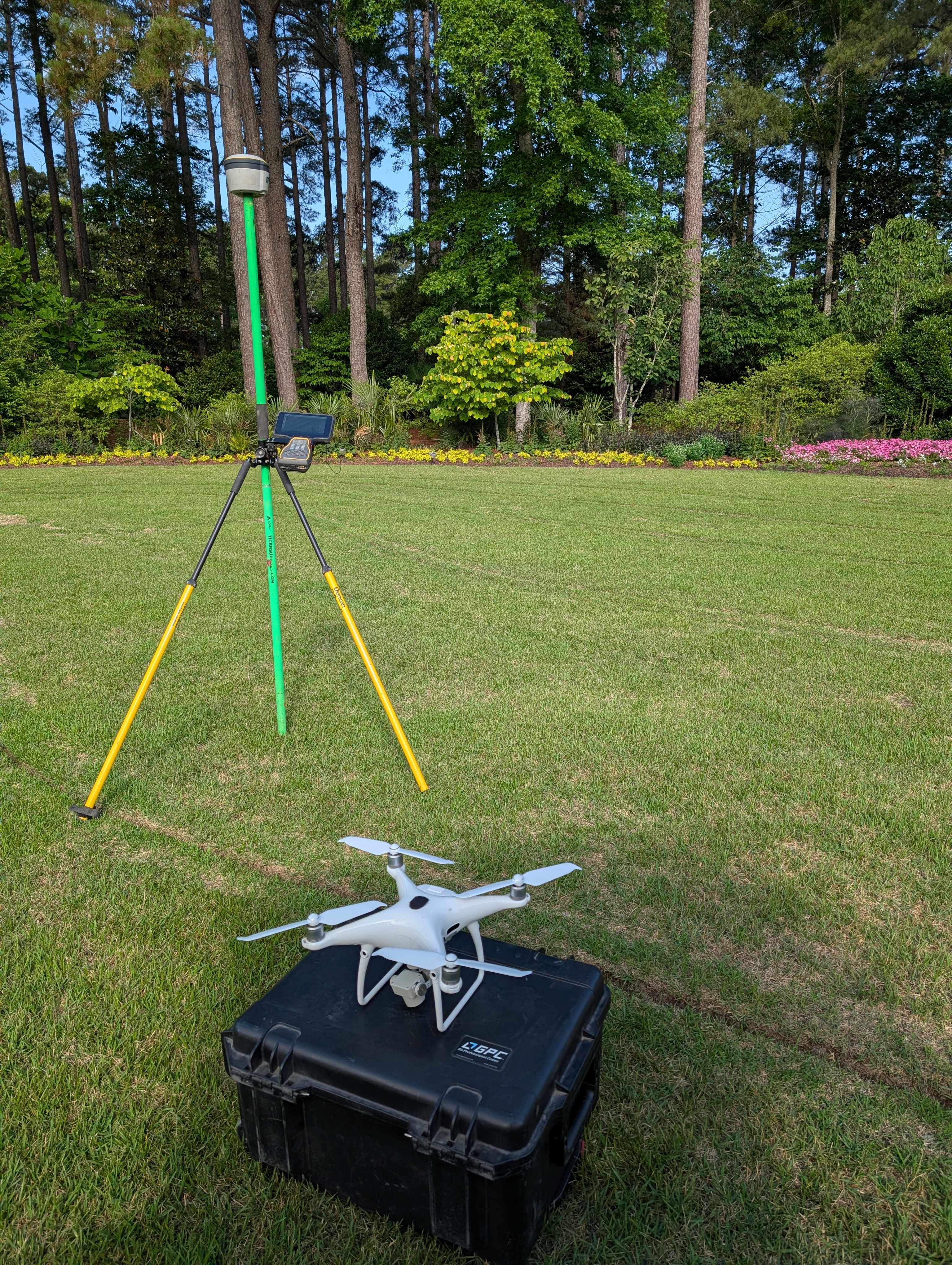
The imagery is rectified using a high-precision RTN-enabled GNSS unit and tiled within ArcGIS Online. The result is a detailed and reliable visual record of the garden. Through Hortis, these custom map tiles can be integrated directly into the garden’s map view, allowing users to toggle layers on and off as needed.
The level of detail achieved through sUAS imagery goes far beyond what is available through standard commercial basemaps. In practical terms, this allows garden bed polygons to be drawn with confidence and, in many cases, plants to be located visually rather than relying solely on GNSS signals, which can be disrupted beneath dense canopy.
By combining aerial precision with field-based record keeping, Moore Farms has created a mapping workflow that supports both accuracy and day-to-day usability.
Special Collections
Moore Farms Botanical Garden hosts two significant collections within the genera Taxodium and Magnolia, the latter forming part of the American Public Gardens Association’s Plant Collection Network.
The Taxodium collection includes more than 60 unique hybrids, varieties and cultivars. The Magnolia collection comprises over 130 taxa, with particular emphasis on Magnolia grandiflora. Both are actively monitored for growth, performance, aesthetic quality and seasonal interest.
Display labels, produced using anodised aluminium and laser engraving, incorporate QR codes that allow visitors and staff to access plant records instantly.
Being the Resource
As Moore Farms Botanical Garden moves into its next phase, its mission remains clear: “…for the benefit of the people of South Carolina and beyond.”
The shift to a cloud-based plant records system has made information far more accessible. Data once confined to a desktop computer can now be shared more widely. Insights about new plant introductions and their performance in the regional climate can be communicated to visitors onsite or to researchers working further afield.
In many ways, the evolution of the garden’s digital infrastructure mirrors the development of the garden itself. Both have been shaped by practical need and refined over time, supporting the long-term stewardship of a dynamic and evolving landscape.
Connect with Moore Farms Botanical Garden
https://www.moorefarmsbg.org/
https://www.instagram.com/moorefarmsbg
https://www.facebook.com/moorefarmsbg/