Webinar: Drone Maps Demystified

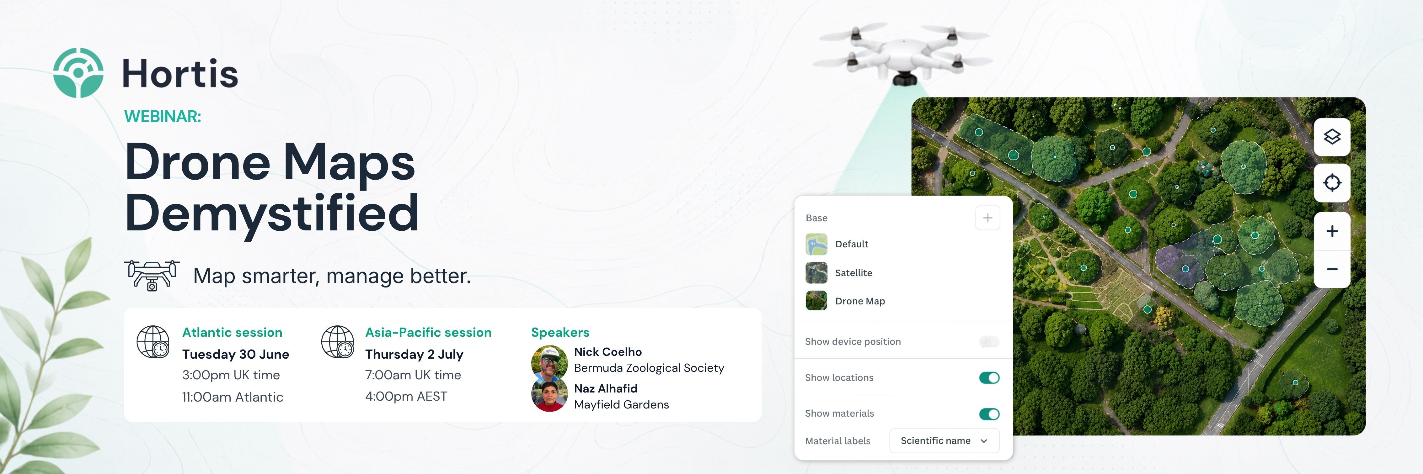
Drone maps can bring a garden’s landscape into clearer view, but knowing where to start can feel a bit mysterious.
In this webinar, we’ll hear from speakers using drone maps and aerial imagery to support garden and collection management, with practical insight into how to get started.
Across two sessions, our speakers will share examples, lessons learned, and show how aerial mapping can help teams better understand, document and work with their sites.
Ideal for anyone considering drone mapping for their own garden, or for teams who already have aerial imagery and want to use it more effectively.
Atlantic session
Tuesday 30 June: 11:00am Atlantic Daylight Time / 10:00am Eastern Daylight Time / 3:00pm British Summer Time
Speaker
Nick Coelho – Micro Forest Project Officer
Bermuda Zoological Society
Nick will share his perspective from Bermuda Zoological Society, including how drone mapping and aerial imagery can support work across a living landscape.
Asia-Pacific session
Thursday 2 July: 4:00pm Australian Eastern Standard Time / 6:00pm New Zealand Standard Time / 7:00am British Summer Time
Speaker
Naz Alhafid – Plant Records Manager
Mayfield Garden
Naz will talk about Mayfield Garden’s experience of working with multi-seasonal drone maps, including the benefits this has brought to the team, the process of creating and using the maps, and how aerial imagery has supported their work in Hortis.