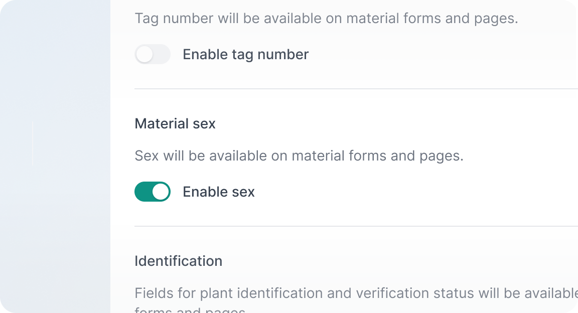
We have added the ability to change your garden name, abbreviation, and collection site URL. Here, you can also change the centre-point and zoom-level of your site, which is the default view when mapping.
A list of all the changes made to the accession is now available at the bottom of the record. As with the activity log in plant materials, hover over the entry to get the exact time of when the changes were made.
We have added the ability to log in directly from hortis.com. Your device will also remember the last organisation you were logged into.
The ability to add and edit photos is no longer experimental and is now available to all users. In addition to adding photos, you can also tag the "Featured" photo. The "Featured" photo will be displayed on the header for the plant material. Featured photo's will later play a role in other parts of Hortis, so we recommend you consider assigning a featured photo every time you add or edit photos.
You can now sort the accession number column and plant material number column on tablet and desktop. To sort, click the drop down arrow to the right of the column header. This capability will gradually be expanded to mobile and other columns.
A list of all the changes made to the plant material is now found at the bottom of the page. This capability will soon be added to accessions and elsewhere. You can hover over the entry to get the exact time of when the changes were made.
You can now delete accessions as well as individual plant materials. To do this, click the [...] button at either the accession or plant material, and select "Delete". Accidental deletions can always be recovered.
If an update has been released while you are using Hortis, a reminder will now appear at the bottom of your device screen. Simply refresh your browser page to use the latest version.
You can now use a satellite base map layer (Bing Maps) to view the map of your garden. Switch between the two available layers (the default layer is provided by Open Street Map) using the layers menu in the top right. This will help you to be more accurate when mapping your plant material locations.
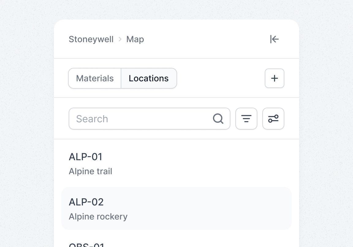
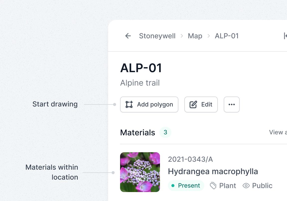
Mapping your plant material locations is now available to all users. View your garden map, assign new co-ordinates to your materials, and update the position of any existing material marker – all directly from the map view. These capabilities no longer require switching on via the experimental flag.